Categories
- Agriculture / Farm
- Animals
- Arts / Crafts
- Beauty / Fashion
- Books / Literature
- Business / Finance
- Cities / Places
- Computers / IT
- Construction
- Materials & Supplies
- Ecology / Climate
- Educational
- Electronics
- Energy / Utilities
- Food / Drinks
- Games
- General
- Geography
- Geology
- Health / Fitness
- History
- Home / Garden
- Jobs / Careers
- Kids / School
- Law / Government
- Music / Movies / TV
- News / Media
- Occasions
- Christmas
- Easter
- Halloween
- New Year
- Saint Patrick's Day
- Thanksgiving
- Valentine's Day
- Outdoors
- Religion / Belief
- Safety / Prevention
- Science
- Astronomy
- Biology
- Chemistry
- Physics
- Seasonal
- Shopping
- Society / Culture
- Sports
- Tools / Equipment
- Travel / Tourism
- Vehicles
Geography Crossword Puzzles
Free printable geography crossword puzzles. Download pre-made or create your own Crossword using our crossword maker. Simply download, print and start playing or play online.
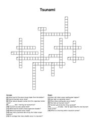
when did indian ocean earthquake happen?, _ feet - how big can tsunami be?, how high is a epicenter wave?, where are tsunami most common?, what …
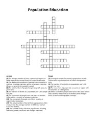
the total number of people living in a specific area at a given time, the movement of people from one place to another, either within a country or …
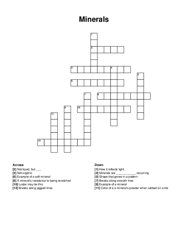
luster may be this, minerals are _ occurring, how it reflects light, not liquid, but _ , not organic, breaks along smooth ines, example of a soft …
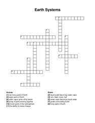
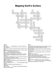
group of parts working together, the ability to cause change, gases surrounding earth, non-living parts of earth, water parts of earth, frozen parts …
what is the world's largest ocean?, what ocean separates europe from north america?, what is the shallowest ocean?, what is the ocean that …
a hill in northern israel that is believed to be the site of the transfiguration of jesus, a mountain in the sinai peninsula in egypt where, according …
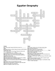
a sacred building used for religious purposes, the capital city of egypt, really old, hot and dry place where the pyramids can be found, a famous …
most abundant element in the universe, high silica lava, where tectonic plates meet, largest layer of the earth, crust and upper mantle, separating …
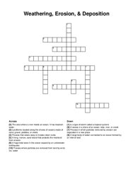
the movement of sediment from one place to another, often caused by wind or flowing water, a region of rock that formed together as a single rock …
a thick ice sheet that slowly flows under its own weight, vast sheets of glacial ice that cover immense areas of relatively flat land, "rivers of …
monotheists believe in one of these, cuneiform was the world's first system of _ , hammurabi wrote the first system of _ , "surplus" …
a thick surface layer of soil that remains frozen throughout the year occuring cheifly in polar regions, a large continuous extent of land that …
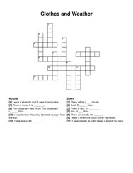
i wear it when its cold. i wear it around my neck, i wear it when it's cold. i wear it on my feet, i wear it when it's sunny. i protect my …
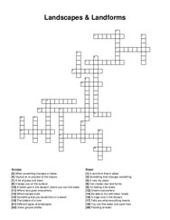
landforms located along the shores of oceans made of sand, gravel, pebbles, or shells, a recess in a shore of an ocean, lake, river, or creek, a huge …
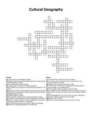
belief in only one god, this peninsula contains the country of greece, this peninsula contains the country of spain and portugal, this mountain range …
be able to live with basic needs, something that you would find on a beach, a fertile spot in the dessert, where you can find water, different types …
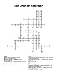
the largest ethnic group in mexico, huge parts of the rain forest are being cut down to plant crops, a blend of the native groups in the area and the …
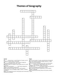
_ characteristics : things people create, such as buildings, roads, language, religion, and culture, _ characteristics : natural features of a place, …
a plain at the mouth of a river, formed when sediment is deposited by flowing water, fine soil found on river bottoms, the world's longest river, …
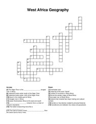
_ volcanic line is a chain of volcanic mountains, the sahel is becoming more like a _ , empire that included two major trading and cultural centers, …
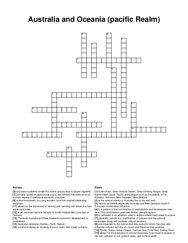
tend to be limited, especially australia and new zealand; result of european colonization influence, primarily based on agricultural output and …
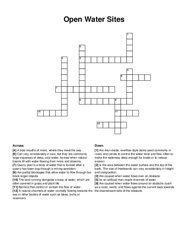
quarry pool is a body of water that is formed after a quarry has been dug through a mining operation, a natural channels of water normally flowing …
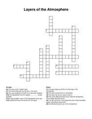
this layer is the "middle" layer, this layer has its own layers inside it, a natural pattern seen in the troposphere every day, something …
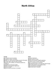
empty, dry, rocky area that makes up much of the desert, qaddafi was this type of leader, vital to the success of egypt's agriculture, areas of …
the _ -the explanation of creation for australia's indigenous people, girl who is caught at the train station, this animal will always take care …
a place in wales where a school was crushed by a slurry, a country in africa where jews were slaves, 10 of these were sent in order to free the jews, …
essential goods and services required for survival, such as food, water, and shelter, non-essential goods and services that improve quality of life, …
neighbor of china, climate in the north, highest mountain range in the world, one of world's largest country, land that can be used to grow …
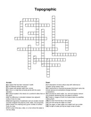
on a topographic map, a _ line connects points of equal elevation, a list of all the symbols used on a map with an explanation of their meaning, the …
a space that has been reduced in width, a process by which water, ice, wind and gravity remove and transport sediments from one place to another, the …