Categories
- Agriculture / Farm
- Animals
- Arts / Crafts
- Beauty / Fashion
- Books / Literature
- Business / Finance
- Cities / Places
- Computers / IT
- Construction
- Materials & Supplies
- Ecology / Climate
- Educational
- Electronics
- Energy / Utilities
- Food / Drinks
- Games
- General
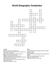
- Geography
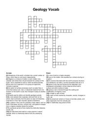
- Geology
- Health / Fitness
- History
- Home / Garden
- Jobs / Careers
- Kids / School
- Law / Government
- Music / Movies / TV
- News / Media
- Occasions
- Christmas
- Easter
- Halloween
- New Year
- Saint Patrick's Day
- Thanksgiving
- Valentine's Day
- Outdoors
- Religion / Belief
- Safety / Prevention
- Science
- Astronomy
- Biology
- Chemistry
- Physics
- Seasonal
- Shopping
- Society / Culture
- Sports
- Tools / Equipment
- Travel / Tourism
- Vehicles
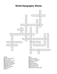
Geography Crossword Puzzles
Free printable geography crossword puzzles. Download pre-made or create your own Crossword using our crossword maker. Simply download, print and start playing or play online.
the _ -the explanation of creation for australia's indigenous people, girl who is caught at the train station, this animal will always take care …
a place in wales where a school was crushed by a slurry, a country in africa where jews were slaves, 10 of these were sent in order to free the jews, …
essential goods and services required for survival, such as food, water, and shelter, non-essential goods and services that improve quality of life, …
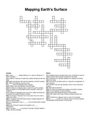
neighbor of china, climate in the north, highest mountain range in the world, one of world's largest country, land that can be used to grow …
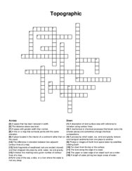
on a topographic map, a _ line connects points of equal elevation, a list of all the symbols used on a map with an explanation of their meaning, the …
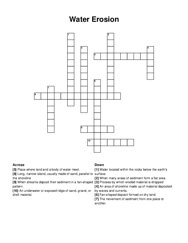
a space that has been reduced in width, a process by which water, ice, wind and gravity remove and transport sediments from one place to another, the …
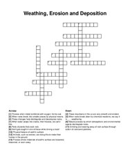
when water seeps into cracks, then freezes, we call it this, these mountains in the us are very smooth and eroded, physical feature of earth's …
the cooling that occurs when a gas expands and the other conditions stay the same, the average time a given particle will stay in a given system, …
igneous rock that has formed from lava, passes through the earth's atmosphere and strikes the ground, widespread and rapid decrease in …
strong storms that hit the southern and eastern coasts, the main crop in the south, the largest freshwater lake in china, the largest island that has …
generally small volcanoes formed from piles of tephra around the vent causing steep sides, magma that flows onto earth's surface, region where …
this natural resource grows on a plant, resources in russia are trapped under _ , peninsula that involves spain and portugal, largest country in …
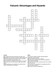
a mass of flowing or solidified lava, volcanic ash may contain varying amounts of soil nutrients that enrich the soil, lahars are hot or cold mixtures …
a process in which new oceanic crust forms along a mid-ocean ridge and older oceanic crust moves away from the underwater mountain/ridge, elevated or …
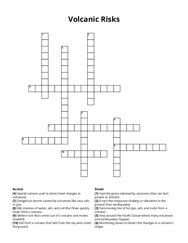
fast-moving mix of hot gas, ash, and rocks from a volcano, special camera used to detect heat changes in volcanoes, wet mixture of water, ash, and …
the earth, zero, a system of technology, runs north or south, fixed point on earth, similar or analogous, natural and artificial, south, north, east, …
the preserved remains or traces of animals, plants, and other organisms from the remote past, a span of time marked by character, events, changes on …
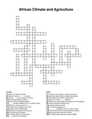
platinum is used in _ batteries, _ conditions occur in northern africa, another of africa's desserts, the metal used in jewelry, africa is home …
a flat highland, a large stream of water that runs through the land to another body of water, an imaginary line around the middle of the earth, land …
an area of shoreline made up of material deposited by waves and currents, water located within the rocks below the earth's surface, place where …
river or stream that flows into larger rivers or streams, large stream of water that flows along a certain path, body of water completely surrounded …
to change in form appearance or structure, the geological process in which sediments,soil and rocks are added to a landform of land mass, the process …
branch of geography that describes the spatial aspects of interactions between human and the natural world, science that deals with climates and their …
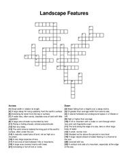
a landscape is a large area of land that you can see, made up of different natural features like mountains, rivers, forests, and valleys, a landform …
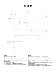
a sharp ridge in between a corrie caused by erosion, the gathering together of rain, snow and ice, the melting of glacial ice, the removal and …
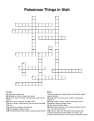
eating leaves, berries, and roots can be fatal to anyone (hint: it's name seems dark), also known as wolf's bane, brown spider with enough …
a water less, often sandy, desolate area of land with little vegetation, a large area covered mainly with trees, a natural hollowed-out underground …
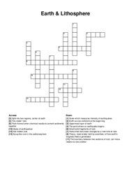
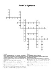
split into two regions; center of earth, theory, most widely held by scientists, of how earth's magnetic field is generated, uppermost layer of …
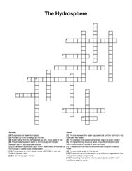
a series of events that occur in a continuous pattern, water that runs off the surface of the earth, all the water on or near the surface of the …
point on the earth´s surface above the focus of an earthquake, type of graph that shows how quickly a river responds to a rainfall event, a tidal …