Categories
- Agriculture / Farm
- Animals
- Arts / Crafts
- Beauty / Fashion
- Books / Literature
- Business / Finance
- Cities / Places
- Computers / IT
- Construction
- Materials & Supplies
- Ecology / Climate
- Educational
- Electronics
- Energy / Utilities
- Food / Drinks
- Games
- General
- Geography
- Geology
- Health / Fitness
- History
- Home / Garden
- Jobs / Careers
- Kids / School
- Law / Government
- Music / Movies / TV
- News / Media
- Occasions
- Christmas
- Easter
- Halloween
- New Year
- Saint Patrick's Day
- Thanksgiving
- Valentine's Day
- Outdoors
- Religion / Belief
- Safety / Prevention
- Science
- Astronomy
- Biology
- Chemistry
- Physics
- Seasonal
- Shopping
- Society / Culture
- Sports
- Tools / Equipment
- Travel / Tourism
- Vehicles
Geography Crossword Puzzles
Free printable geography crossword puzzles. Download pre-made or create your own Crossword using our crossword maker. Simply download, print and start playing or play online.
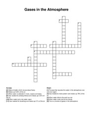
this is a mixture of gases in the atmosphere, gas needed to make protein and makes up 78% of the air, when water turns into water vapor, when water …
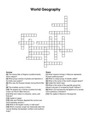
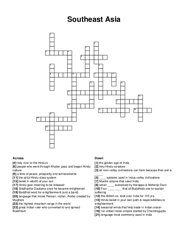
called the gold coast, the capital of bosnia & herzegovina, the hausa tribe of nigeria is predominantly which religion?, which city has become the …
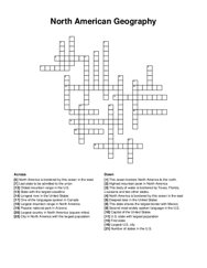
north america is bordered by this ocean in the east, largest mountain range in north america, north america is bordered by this ocean in the west, one …
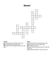
this place is not real, strong winds up to 6 kilometers high!, be careful of this plant - it can hurt you too!, our body gives us this when it gets to …
imaginary creature with the tail of a fish. andersen's little one has her statue in copenhagen, underwater boat, movement of sea water, the …
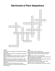
the major line of latitude where most tropical rainforests are located, the name of the largest tropical rainforest in the world, the name of …
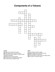
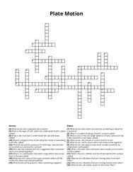
main tube magma travels through, magma escapes from the side of the volcano, magma when it reaches the surface, lava when it is under the surface, …
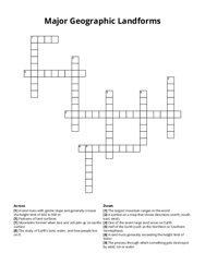
the study of earth’s land, water, and how people live on it, a symbol on a map that shows directions (north, south, east, west), features of land …
least populated province in south africa, the countryside where most people work on the land or sea, most populated country in the world, the number …
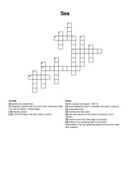
a very large body of salt water that covers most of the earth, a body of salt water smaller than an ocean, partly surrounded by land, a large body of …

smaller materials float within the water, another term for animals, trees being cut down, another word for plants, complex system that includes water …
the wearing away of the rock, when the material is dropped, type of wave with strong backwash, type of wave which creates a beach, dissolving of …
the mouth of the mississippi river is shaped like a _ , flood water carries _ that adds new topsoil and helps crops grow, the delta region also has …
time something continues, death, viable offspring, moving into, degree of spread, ecological events: birth, death, immigration, emigration, repetition …
a visible mass of condensed water vapor floating in the atmosphere, rain, snow, sleet, or hail that falls from the clouds, falling ice that are in the …
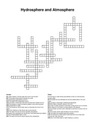
the trapping of the sun's heat by gases in the earth's atmosphere, a vegetation region with a mix of grassland and scattered trees, of lower …
the highest point (2 words), the lowest point, the longest river, the largest lake (2 words), the mountainous area in scotland, the flatter land in …
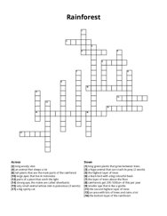
a huge animal that can crush its prey (2 words), rainforests get 200-1000cm of this per year, a black bird with a big colourful beak, smaller ape that …
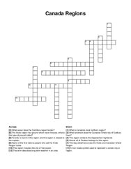
what ocean does the cordillera region border?, a man made symbol used to represent a certain city or region, toronto is found in this region and this …
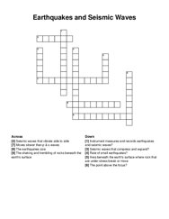
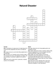
the earthquakes size, the shaking and trembling of rocks beneath the earth's surface, instrument measures and records earthquakes and seismic …
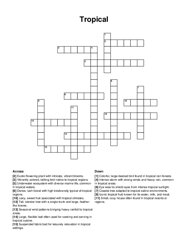
suspended fabric bed for leisurely relaxation in tropical settings, tall, slender tree with a single trunk and large, feather-like leaves, underwater …
seasonal winds that help trade in indian ocean, holy hindu scripture, great indian ruler who converted to and spread buddhism, language most commonly …
a storm with a violent wind, in particular, a tropical cyclone in the caribbean, a mobile, destructive vortex of violently rotating winds having the …
what is a diagram that shows what the inside of something looks like called?, what is the rock that is underneath the soil and water called?, what is …
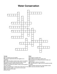
enough for a specific need, the weather pattern in an area over several years, to use something in a careful way so that it won't run out, make …
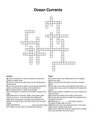
transported by currents from the earth's equator to the poles, current: carries warm water away from the equator toward cool areas, long-term …
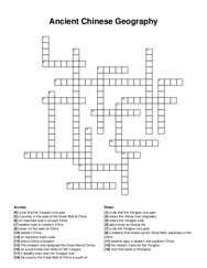
an important wall in ancient china, an important trade route, weather type in eastern and southern china, weather type in northern china, western …
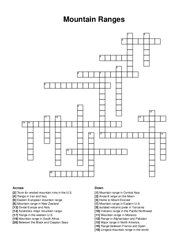
home to mount everest, longest mountain range in the world, major range in north america, mountain range in eastern u.s, range between france and …
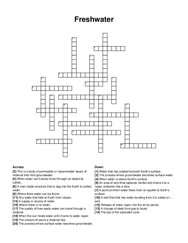
a supply or source of water, the process where groundwater becomes surface water, any water that falls to earth from clouds, when water can't …
the property of water that allows objects to sink even big ships, the water that contains salts and minerals, the water that can be found in glaciers …