Geographic Features of Ancient Israel Crossword Puzzle
Download and print this Geographic Features of Ancient Israel crossword puzzle.
Related puzzles:
QUESTIONS LIST:
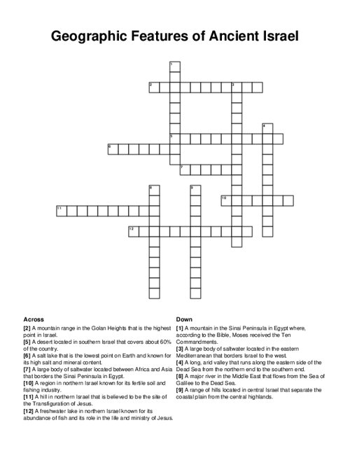
- mount tabor: a hill in northern israel that is believed to be the site of the transfiguration of jesus.
- mount sinai: a mountain in the sinai peninsula in egypt where, according to the bible, moses received the ten commandments.
- jordan river: a major river in the middle east that flows from the sea of galilee to the dead sea.
- sea of galilee: a freshwater lake in northern israel known for its abundance of fish and its role in the life and ministry of jesus.
- negev desert: a desert located in southern israel that covers about 60% of the country.
- dead sea: a salt lake that is the lowest point on earth and known for its high salt and mineral content.
- mediterranean sea: a large body of saltwater located in the eastern mediterranean that borders israel to the west.
- judean hills: a range of hills located in central israel that separate the coastal plain from the central highlands.
- galilee: a region in northern israel known for its fertile soil and fishing industry.
- red sea: a large body of saltwater located between africa and asia that borders the sinai peninsula in egypt.
- arava valley: a long, arid valley that runs along the eastern side of the dead sea from the northern end to the southern end.
- mount hermon: a mountain range in the golan heights that is the highest point in israel.
