Map Reading Crossword Puzzle
Download and print this Map Reading crossword puzzle. Use a pencil or pen to complete the puzzle by filling in the blanks. The completed answers are included, so you can easily check your progress.
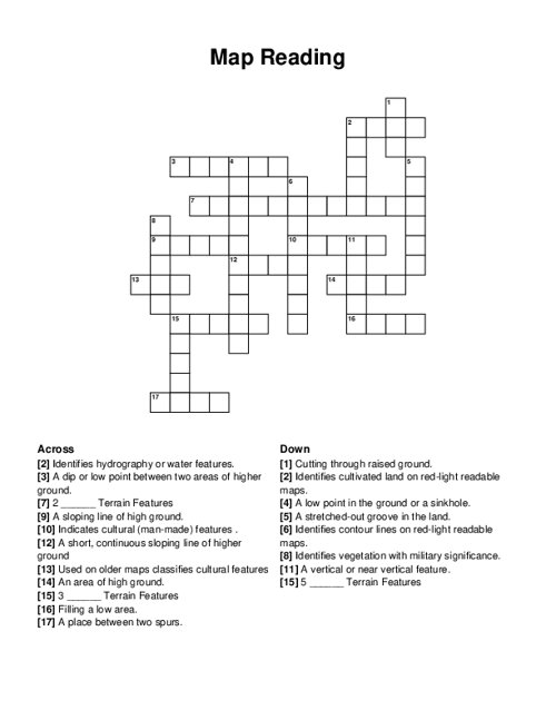
PDF will include puzzle sheet and the answer key.
Related puzzles:
More Kids / School Crossword Puzzles
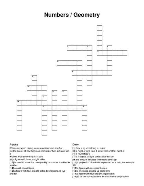
Numbers / Geometry
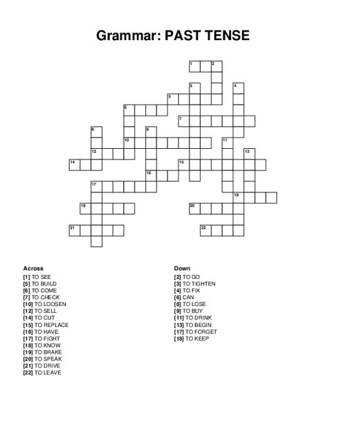
Grammar: PAST TENSE
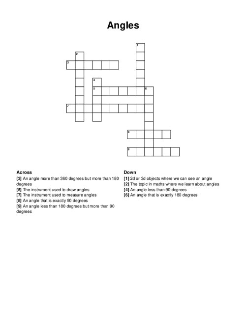
Angles
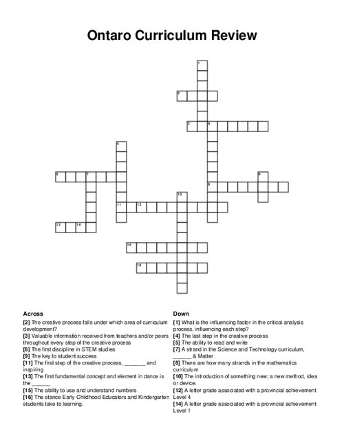
Ontaro Curriculum Review
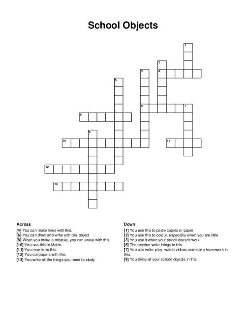
School Objects
Browse all Kids / School Puzzles
QUESTIONS LIST:
- black : indicates cultural (man-made) features .
- depression : a low point in the ground or a sinkhole.
- cliff : a vertical or near vertical feature.
- brown : identifies cultivated land on red-light readable maps.
- red : used on older maps classifies cultural features
- blue : identifies hydrography or water features.
- minor : 3 _ terrain features
- valley : a stretched-out groove in the land.
- supplemental : 2 _ terrain features
- hill : an area of high ground.
- spur : a short, continuous sloping line of higher ground
- cut : cutting through raised ground.
- ridge : a sloping line of high ground.
- major : 5 _ terrain features
- green : identifies vegetation with military significance.
- draw : a place between two spurs.
- redbrown : identifies contour lines on red-light readable maps.
- fill : filling a low area.
- saddle : a dip or low point between two areas of higher ground.